Directions to the Slavin's Gulch Trailhead
Slavin's Gulch is about 35 miles away and requires about an hour to get there.
See
highlighted map
of the directions.
There will be
N
o Toilet Facilities
for this hike.
Vehicles with low clearance might have difficulty with the last 2 miles. Use caution.
From the SKP Saguaro RV Park drive south toward Tombstone on AZ 80 for about 20 miles.
Just after the border patrol checkpoint and before one gets to Tombstone, find the intersection with Middlemarch Road.
Turn east onto Middlemarch Road toward the Dragoon Mountains.
Middlemarch Road is gravel and can have significant "washboard".
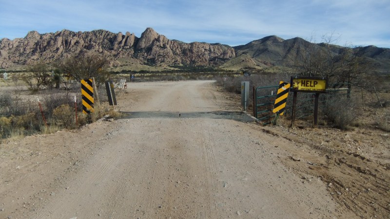
Drive down Middlemarch Road for 9.8 miles, crossing several cattle guards and washes.
At about 9.8 miles is
another cattle guard
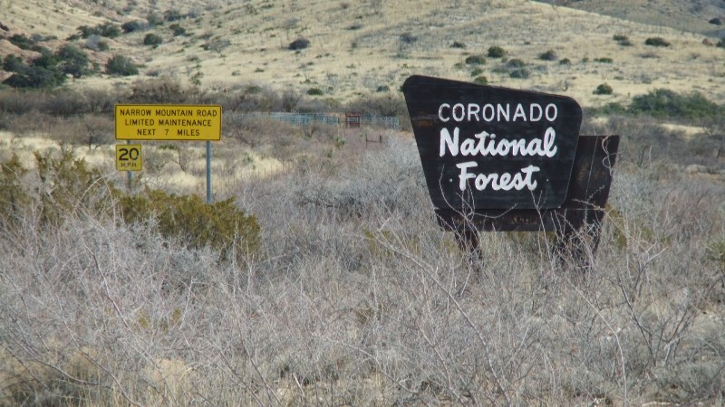
and a
sign marked border of the Coronado National Forest
.
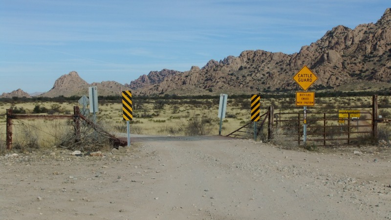
Just after this cattle guard, turn north onto
Forest Service Road 687 while crossing another cattle guard
.
In the
photo
, below the "Cattle Guard" and "Bicycles" signs is the "687"
Drive north on Forest Service Road 687 for about 2.1 miles. Stay on the main road.
Drive through
one more cattle guard
on the way.
Do not turn right onto any of the several side roads.
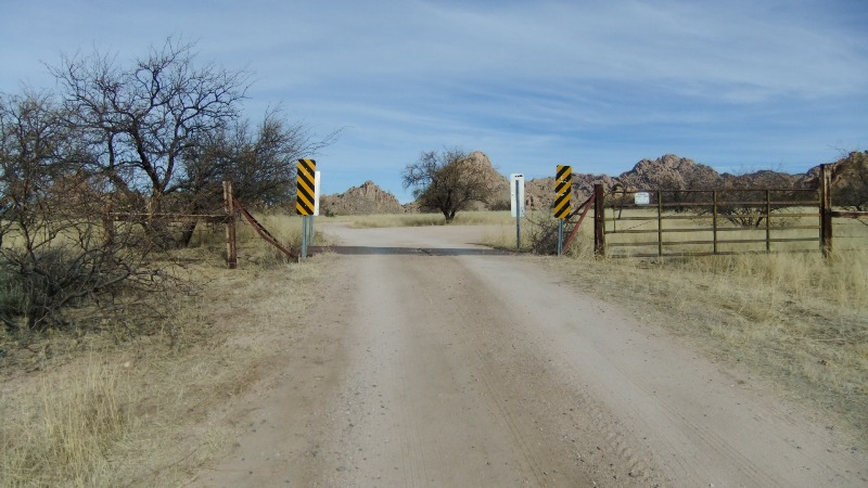
At 2.1 miles look for the
two trail marker signs
.
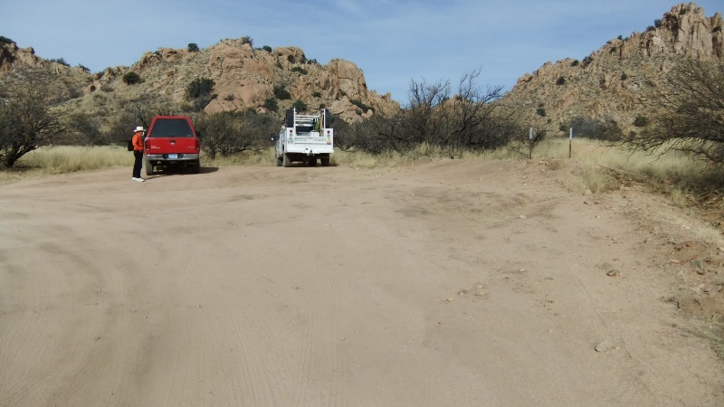
You are now at the
Trailhead and parking area
.
Look for the
Slavin's Gulch trail sign
that is just down the trail at little ways to be sure you are at the correct trailhead.